
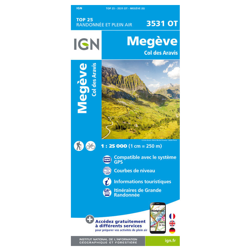
Megeve - Col des Aravis 3531OT, carta escursionistica scala 1:25000, editore Institut Geographique National. Acquista ora

Guarantee safe & secure checkout
Editore: Institut Geographique National
Carta escursionistica della zona di Megeve - Col des Aravis, in scala 1:25000, con curve di livello. La carta è compatibile GPS, presenta reticolo UTM e informazioni turistiche.
Scheda tecnica
Carta escursionistica con curve di livello dell'Istituto Geografico Nazionale francese. Comprende...

Aiguille de Chambeyron 3538ET R, carta escursionistica scala 1:25000

Monviso 6, carta escursionistica scala 1:50000, edizioni IGC Istituto Geografico Centrale. Acquista ora

Carta escursionistica con curve di livello dell'area di Bastia, Golfo di Saint-Florent in Corsica
Haute Corese, carta escursionistica in scala 1:60 000, edita da Editions Didier Richard. Acquista

Freeride Map La Grave / La Meije, mappa in scala 1:25000, editore FMR Freeride Map. Acquista ora
Les Trois Vallees - Modane 3534OT R (Resistente), carta escursionistica scala 1:25000, editore IGN. Acquista ora
Vallée de la Roya 3841OT, carta escursionistica de Randonnée scala 1:25000, editore Institut Geographique National. Acquista ora

Aiguille de Chambeyron 3538ET, carta escursionistica scala 1:25000, editore Institut Geographique National. Acquista ora
Chamonix - Massif du Mont Blanc 3630OT, carta escursionistica 1:25000, editore IGN. Acquista ora su libridimontagna.net
Carta escursionistica in scala 1:25000 della zona della Meije, Parc National Des Ecrins
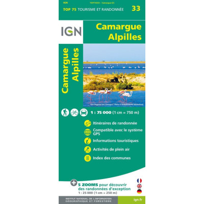
Camargue Alpilles TOP 75, mappa 1:75000, edizioni IGN. Acquista ora su libridimontagna.net

Vallée de la Vésubie 3741OT, carta escursionistica de Randonnée scala 1:25000, editore Institut Geographique National. Acquista ora
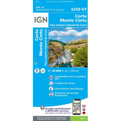
Corte, Monte Cinto 4250 OT, carta escursionistica, scala 1:25000, Corsica, edizioni IGN. Acquista ora
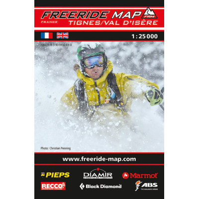
Freeride Map Tignes / Val d'Isere, mappa in scala 1:25000, editore FMR Freeride Map. Acquista ora
Carta escursionistica con curve di livello dell'Istituto Geografico Nazionale francese. Comprende...